- Alternative title
-
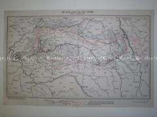
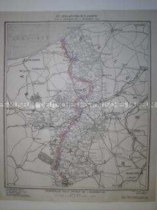
Die Schlachten in Polen vom 3. Oktober bis 17. Dezember 1914
- Location
-
Deutsches Historisches Museum, Berlin
- Inventory number
-
Do2 95/1292
- Measurements
-
Höhe x Breite: 65 x 59 cm
- Material/Technique
-
Papier, gedruckt
- Classification
-
Kartografie (Gattung)
- Subject (what)
-
Krieg
Militär
Geographie
- Event
-
Herstellung
- (who)
-
Entwerfer: Hermann Stegemann
Zeichner: Geographisches Institut Kümmerly und Frey
- (where)
-
Bern, Schweiz
- (when)
-
1918
- Rights
-
Deutsches Historisches Museum
- Last update
-
24.03.2023, 9:30 AM CET
Data provider
This object is provided by:
Stiftung Deutsches Historisches Museum. If you have any questions about the object, please contact the data provider.
Stiftung Deutsches Historisches Museum. If you have any questions about the object, please contact the data provider.
Object type
- Militärgeographische Karte
Associated
- Entwerfer: Hermann Stegemann
- Zeichner: Geographisches Institut Kümmerly und Frey
Time of origin
- 1918
Other Objects (12)

Kriegskarte von der Ostfront im September 1914

Deutsche Kriegskarte 1914
Deutsche Kriegskarte 1914
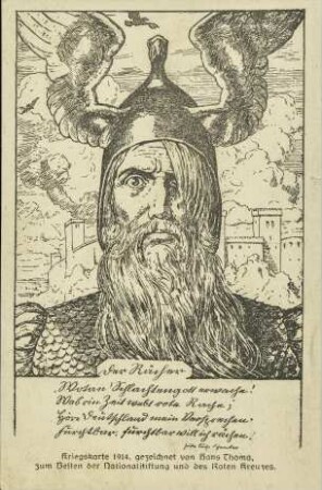
Kriegskarte 1914 - Der Rächer
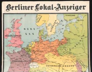
Kriegskarte 1914 : Berliner Lokal-Anzeiger
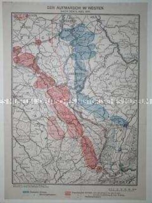
Kriegskarte von der Westfront im August 1914
Kriegskarte von der Westfront im September 1914
Kriegskarte von der Westfront im November 1914

Kriegskarte

Kriegskarte

Kriegskarte

Kriegskarte
Kriegskarte von der Ostfront im September 1914
Deutsche Kriegskarte 1914
Deutsche Kriegskarte 1914
Kriegskarte 1914 - Der Rächer
Kriegskarte 1914 : Berliner Lokal-Anzeiger
Kriegskarte von der Westfront im August 1914
Kriegskarte von der Westfront im September 1914
Kriegskarte von der Westfront im November 1914
Kriegskarte
Kriegskarte
Kriegskarte
Kriegskarte
Kriegskarte von der Ostfront im September 1914
Deutsche Kriegskarte 1914
Deutsche Kriegskarte 1914
Kriegskarte 1914 - Der Rächer
Kriegskarte 1914 : Berliner Lokal-Anzeiger
Kriegskarte von der Westfront im August 1914
Kriegskarte von der Westfront im September 1914
Kriegskarte von der Westfront im November 1914
Kriegskarte
Kriegskarte
Kriegskarte