Karte
1. Folding map of important early overland routes made or used by the pioneers east of the Mississippi River during the period between 1750 and 1820. - Drawn for this work

- Extent
-
1 page
- Language
-
Englisch
- Bibliographic citation
-
A history of travel in America
- Published
-
1937
- Last update
-
26.05.2025, 3:47 PM CEST
Data provider
This object is provided by:
Niedersächsische Staats- und Universitätsbibliothek Göttingen. If you have any questions about the object, please contact the data provider.
Niedersächsische Staats- und Universitätsbibliothek Göttingen. If you have any questions about the object, please contact the data provider.
Object type
- Karte
Time of origin
- 1937
Other Objects (12)
The British pioneers

Pioneers of the airlift

Pioneers of the new world
The mayos : pioneers in medicine
Departure over-land for the Ottoes
The overland transport of veterinary antibiotics
The Hub : pioneers of network music
Pioneers in the cisterna magna puncture
Pioneers?
Franklin's overland journey to the Polar Sea.
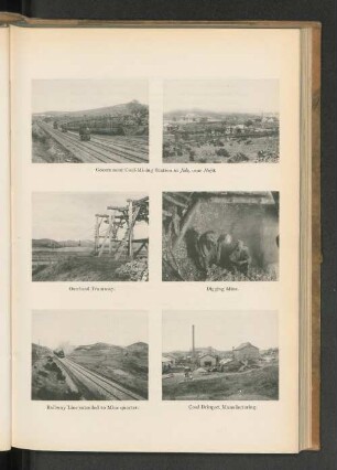
Overland Tramway.
Folding polyhedra : the art & geomentry of paper folding
The British pioneers
Pioneers of the airlift
Pioneers of the new world
The mayos : pioneers in medicine
Departure over-land for the Ottoes
The overland transport of veterinary antibiotics
The Hub : pioneers of network music
Pioneers in the cisterna magna puncture
Pioneers?
Franklin's overland journey to the Polar Sea.
Overland Tramway.