Regionalkarte
Grand Atlas . Bl. 22 (Westfalen, Braunschweig, Wolfenbüttel, Paderborn, Osnabrück, Hildesheim...): Contenant une Partie de Wesphalie, les Principautés de Braunschw. Wolffenbuttel, de Callnberg, et de Munden, l'Eveche de Paderborn, d'Osnabruck, et de Hildesheim, les Comtés de la Lippe, de Ravensberg, de Schaumburg, de Pyrmont et de Ritberg. l'Abbaye de Corvey et et
- Alternative title
-
CARTE TOPOGRAPHIQUE D'ALLEMAGNE / Contenant une Partie de WESPHALIE, les PRINCIPAUTÉS de BRAUNSCHW: WOLFFENBUTTEL, de CALLNBERG, et de MUNDEN, l'EVECHE de PADER= / BORN, d'OSNABRUCK, et de HILDESHEIM, les COMTÉS de la LIPPE, de RAVENSBERG, de SCHAUMBURG, de PYRMONT et de RITBERG. l'Abbaye de CORVEY et et
- Location
-
Deutsches Historisches Museum, Berlin
- Inventory number
-
Do 2006/1059.22
- Measurements
-
Höhe x Breite: 56,5 x 78 cm, Höhe: 56,5 cm, Breite: 78 cm, Tiefe: 3 cm (Atlas)
Höhe x Breite: 56,5 x 78 cm (Blatt)
Höhe x Breite: 52 x 68 cm (Platte)
Höhe x Breite: 46 x 59 cm (Karte)
- Material/Technique
-
Papier, Kupferstich, koloriert, gebunden |Fadenheftung
- Classification
-
Kartografie (Gattung)
- Subject (what)
-
Deutschland
- Event
-
Herstellung
- (who)
-
Verleger, Militärkartograph: Johann Wilhelm Abraham Jaeger
Stecher: Johann Gottlieb Facius
- (where)
-
Frankfurt (Main) [historisch: Frankfurt, Reichsstadt], Deutschland
- (when)
-
um 1785
- Rights
-
Deutsches Historisches Museum
- Last update
-
24.03.2023, 9:29 AM CET
Data provider
This object is provided by:
Stiftung Deutsches Historisches Museum. If you have any questions about the object, please contact the data provider.
Stiftung Deutsches Historisches Museum. If you have any questions about the object, please contact the data provider.
Object type
- Regionalkarte
Associated
- Verleger, Militärkartograph: Johann Wilhelm Abraham Jaeger
- Stecher: Johann Gottlieb Facius
Time of origin
- um 1785
Other Objects (12)

Les rois, les évêques et les cathédrales de Narbonne, de Toulouse et de Rodez
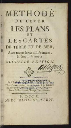
Methode de lever les plans et les cartes de terre et de mer
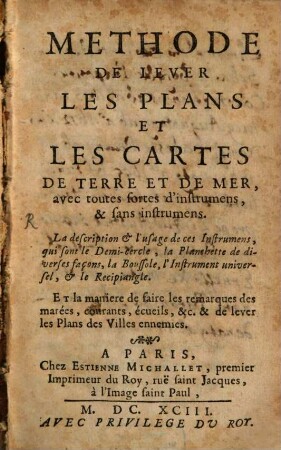
Méthode de lever les plans et les cartes de terre et de mer
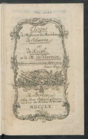
Eloges de Messieurs les Marêchaux de Schwerin et de Keith, et de M. de Viereck
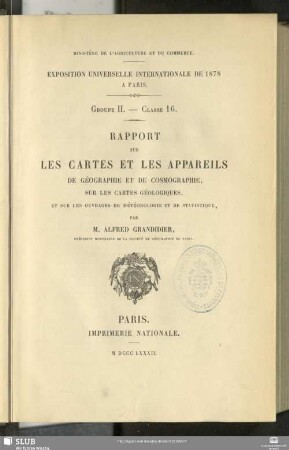
Rapport sur les cartes et les appareils de géographie et de cosmographie : sur les cartes géologiques, et sur les ouvrages de météorologie et de statistique

Les idées philosophiques et littéraires de Mme de Stae͏̈l et de Mme de Genlis
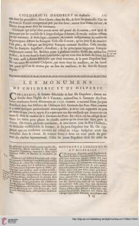
Les Monumens de Childeric et de Hilperic

Les Etats de Savoye et de Piemont
Les couronnes de vertu et de gloire ...
Les procès de Nuremberg et de Tokyo
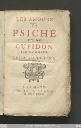
Les Amours De Psiché Et De Cupidon
Les procès de Nuremberg et de Tokyo
Les rois, les évêques et les cathédrales de Narbonne, de Toulouse et de Rodez
Methode de lever les plans et les cartes de terre et de mer
Méthode de lever les plans et les cartes de terre et de mer
Eloges de Messieurs les Marêchaux de Schwerin et de Keith, et de M. de Viereck
Rapport sur les cartes et les appareils de géographie et de cosmographie : sur les cartes géologiques, et sur les ouvrages de météorologie et de statistique
Les idées philosophiques et littéraires de Mme de Stae͏̈l et de Mme de Genlis
Les Monumens de Childeric et de Hilperic
Les Etats de Savoye et de Piemont
Les couronnes de vertu et de gloire ...
Les procès de Nuremberg et de Tokyo
Les Amours De Psiché Et De Cupidon