- Location
-
München, Bayerische Staatsbibliothek -- Mapp. XIV,135 m
- Dimensions
-
88 x 63 cm
- Extent
-
1 Kt.
- Notes
-
Kupferstich
Maßstab in graph. Form (Miglia Romane moderne, Miglia Romane antiche, Miglia Tedesche). - Mit 9 Nebenkt.: Rovine di Ostia Antica. Roma. Rovine dell'Antica Città Del Tuscolo. Contorni del Lago Fucino. Rovine dell'antica Città Di Porto e Contorni. Contorni di Porto, Ostia, e Tor Paterno. Contorni dell'antica Veji. Promontorio Circeo ossia Monte S. Felice. Contorni di Terracina. - Mit Bergstrichen
- Keyword
-
Römische Campagna
Rom
- Event
-
Veröffentlichung
- (where)
-
Roma//Rom//
- (when)
-
1827
- Contributor
- URN
-
urn:nbn:de:bvb:12-bsb00133276-8
- Last update
-
27.11.2025, 8:51 AM CET
Data provider
This object is provided by:
Bayerische Staatsbibliothek. If you have any questions about the object, please contact the data provider.
Bayerische Staatsbibliothek. If you have any questions about the object, please contact the data provider.
Object type
- Altkarte
Time of origin
- 1827
Other Objects (12)

Guida della Val di Bisenzio <Appennino di Montepiano> <Toscana> : Con carta topografica

Aria: "La carta topografica"
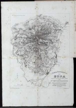
Carta Topografica Dell' Etna
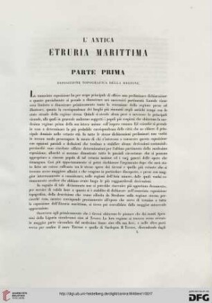
Parte Prima: Esposizione topografica della regione
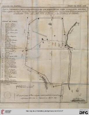
Pianta Topografica della città di Pesto...
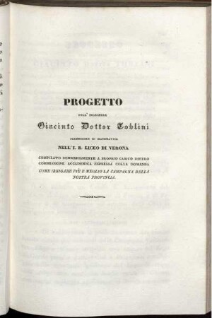
Progetto Come Irrigare Piu e meglio la Campagna della nostra Provincia
Santuario della Madonna di Campagna
Chiesa della Madonna di Campagna

Piante della Campagna di Poggibonsi.

Parte Seconda. Contenente Le Cose Piu' Notabili Della Campagna Suburbana Di Firenze.

Parte Seconda Contenente Le Cose Più Notabili Della Campagna Suburbana Di Firenze.

Storia di Arezzo : Adorna di undici vedute dei più ragguardevoli fabbricati e della planta topografica della città, Epoca antica
Guida della Val di Bisenzio <Appennino di Montepiano> <Toscana> : Con carta topografica
Aria: "La carta topografica"
Carta Topografica Dell' Etna
Parte Prima: Esposizione topografica della regione
Pianta Topografica della città di Pesto...
Progetto Come Irrigare Piu e meglio la Campagna della nostra Provincia
Santuario della Madonna di Campagna
Chiesa della Madonna di Campagna
Piante della Campagna di Poggibonsi.
Parte Seconda. Contenente Le Cose Piu' Notabili Della Campagna Suburbana Di Firenze.
Parte Seconda Contenente Le Cose Più Notabili Della Campagna Suburbana Di Firenze.