Karte
Tableau physique des Iles Canaries : Géographie des Plantes du Pic de Ténériffe (Latitude 28° 16' 53") ; Fondée sur les observations de Mrs. Léopold de Buch et Chr. Smith
- Location
-
Leibniz-Institut für Länderkunde e.V., Leipzig
- Other number(s)
-
HK 1467 (Signatur)
- Material/Technique
-
kolor.
- Inscription/Labeling
-
Aus: Humboldt, Alexander von: Atlas Géographique Et Physique Des Régions Equinoxiales Du Nouveau Continent ; 2. - Ohne Maßstab. - Titel unterhalb des Bildes. - Mit Höhen- und Vegetationsangaben
- Subject (what)
-
Altkarte
Vegetationshöhenstufen
Tropen
Kanarische Inseln
Afrikanische Inseln im Atlantischen Ozean
- Event
-
Veröffentlichung
- (who)
-
Langlois (Verlag)
- (where)
-
[Paris]
- (when)
-
1817
- Rights
-
Leibniz-Institut für Länderkunde e.V.
- Last update
-
15.05.2025, 12:43 PM CEST
Data provider
This object is provided by:
Leibniz-Institut für Länderkunde e. V.. If you have any questions about the object, please contact the data provider.
Leibniz-Institut für Länderkunde e. V.. If you have any questions about the object, please contact the data provider.
Object type
- Karte
Associated
- Langlois (Verlag)
Time of origin
- 1817
Other Objects (12)

Îles Canaries
Îles Canaries
Îles Canaries
Îles Canaries
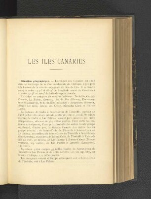
Les Iles Canaries.
Les îles Canaries : flore de l'archipel

Cinq Années de séjour aux Iles Canaries
Les îles Canaries : un guide de voyage actualisé
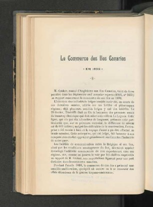
Le Commerce des Iles Canaries.
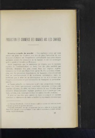
Production et commerce des bananes aux iles Canaries

I. Considerat generales sur la vegetat des iles Canaries

Histoire naturelle des Îles Canaries, 2,2. Zoologie. - 1836 - 1844.
Îles Canaries
Îles Canaries
Îles Canaries
Îles Canaries
Les Iles Canaries.
Les îles Canaries : flore de l'archipel
Cinq Années de séjour aux Iles Canaries
Les îles Canaries : un guide de voyage actualisé
Le Commerce des Iles Canaries.
Production et commerce des bananes aux iles Canaries
I. Considerat generales sur la vegetat des iles Canaries