Karte / Plan
km 99,2 - 99,7 (Troisdorf - Niederlahnstein) Streckenkarte der Gemarkung Königswinter
- Former reference number
-
1550008250
- Dimensions
-
Höhe: 36, Breite: 102, Maßstab: 1:500
- Further information
-
Ort: Germarkung Königswinter Flur 2
- Context
-
Bahndirektion Köln, Karten und Pläne, Band 5 >> 1. Bahnstrecken >> 1.2. Strecke 2324 (alt: BDK 65/1a) Mülheim (Ruhr)-Speldorf-Niederlahnstein >> 1.2.1. Lagepläne zu Bahnhöfen (Isl) >> 1.2.1.17. Rhöndorf
- Holding
-
BR 1210 Bahndirektion Köln, Karten und Pläne, Band 5
- Indexentry place
-
Germarkung Königswinter Flur 2
- Date of creation
-
1928 - 1931
- Other object pages
- Provenance
-
Bahndirektion Köln
- Delivered via
- Last update
-
05.11.2025, 4:10 PM CET
Data provider
This object is provided by:
Landesarchiv Nordrhein-Westfalen. Abteilung Rheinland. If you have any questions about the object, please contact the data provider.
Landesarchiv Nordrhein-Westfalen. Abteilung Rheinland. If you have any questions about the object, please contact the data provider.
Object type
- Karten / Pläne
Time of origin
- 1928 - 1931
Other Objects (12)

km 98,7 - 99,2 (Troisdorf - Niederlahnstein) Streckenkarte der Gemarkung Königswinter
km 99,7 - 100,1 (Troisdorf - Niederlahnstein) Streckenkarte der Gemarkung Königswinter
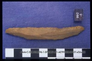
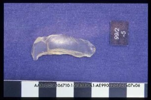
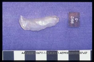
99/2 Pos.5, Kantenret. Klinge
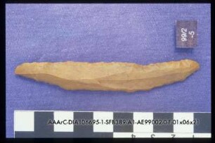
99/2 Pos.5, Kantenret. Klinge
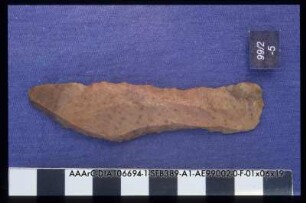
99/2 Pos.5, Kantenret. Klinge
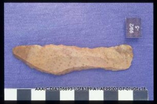
99/2 Pos.5, Kantenret. Klinge

Rehe, Wilhelm; Blatt 99,2
99/2 Pos.5//9, LDG-Klinge
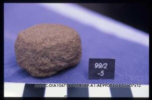
99/2 Pos.5//16, kleiner RS
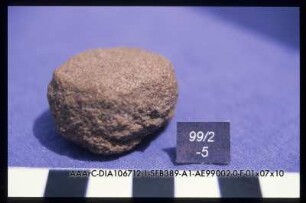
99/2 Pos.5//16, kleiner RS
99/2 Pos.5//9, LDG-Klinge
99/2 Pos.5//16, kleiner RS
km 98,7 - 99,2 (Troisdorf - Niederlahnstein) Streckenkarte der Gemarkung Königswinter
km 99,7 - 100,1 (Troisdorf - Niederlahnstein) Streckenkarte der Gemarkung Königswinter
99/2 Pos.5, Kantenret. Klinge
99/2 Pos.5, Kantenret. Klinge
99/2 Pos.5, Kantenret. Klinge
99/2 Pos.5, Kantenret. Klinge
Rehe, Wilhelm; Blatt 99,2
99/2 Pos.5//9, LDG-Klinge
99/2 Pos.5//16, kleiner RS
99/2 Pos.5//16, kleiner RS
99/2 Pos.5//9, LDG-Klinge
99/2 Pos.5//16, kleiner RS
km 98,7 - 99,2 (Troisdorf - Niederlahnstein) Streckenkarte der Gemarkung Königswinter
km 99,7 - 100,1 (Troisdorf - Niederlahnstein) Streckenkarte der Gemarkung Königswinter
99/2 Pos.5, Kantenret. Klinge
99/2 Pos.5, Kantenret. Klinge
99/2 Pos.5, Kantenret. Klinge
99/2 Pos.5, Kantenret. Klinge
Rehe, Wilhelm; Blatt 99,2
99/2 Pos.5//9, LDG-Klinge
99/2 Pos.5//16, kleiner RS
99/2 Pos.5//16, kleiner RS
99/2 Pos.5//9, LDG-Klinge