Archivale
Verkehrsplan innerhalb des Cityrings. Plan A
Darin: Hauptamt für Stadtplanung, Außenstelle Zehlendorf.
Enthält: Gebiet begrenzt von Spreebogen (N), Engelbecken (O), Urbanhafen (S) und Potsdamer Str. (W).- Nicht identisch mit Zustand im Heft "Der Zehlendorfer Plan", Abb. 15, Bibl. Stadtarchiv 5310.
Lichtpause.
- Reference number
-
F Rep. 270-03 Nr. 2970
- Extent
-
1 : 10 000
- Further information
-
Format: 65 x 42 cm
- Context
-
F Rep. 270-03 Baupläne >> 10.09. Straßen und Autobahnen
- Holding
-
F Rep. 270-03 Baupläne
- Indexentry place
-
Mitte - Bebauungsplan
- Date of creation
-
[1945 - 1946]
- Other object pages
- Provenance
-
Baupläne
- Rights
-
Für nähere Informationen zu Nutzungs- und Verwertungsrechten kontaktieren Sie bitte info@landesarchiv.berlin.de.
- Last update
-
22.08.2025, 12:00 PM CEST
Data provider
This object is provided by:
Landesarchiv Berlin. If you have any questions about the object, please contact the data provider.
Landesarchiv Berlin. If you have any questions about the object, please contact the data provider.
Object type
- Archivale
Time of origin
- [1945 - 1946]
Other Objects (12)

Verkehrsplan innerhalb des Cityrings - Plan A
ABOAG Verkehrs-Plan
Verwaltungsbezirk Mitte und Verkehrsplan innerhalb der City
Tschechoslowakischer Verkehrs-Plan 1949
Verkehrsplan
Verkehrsplan
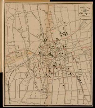
Verkehrs-Plan der Stadt Göttingen
Maraun's Grosser Verkehrs-Plan von Berlin
Neuer Verkehrs-Plan von Gross-Berlin
Neuer Verkehrs-Plan von Gross-Berlin

Verkehrsplan
Verkehrsplan; Großer Verkehrsplan Berlin und seine Vororte
Verkehrsplan innerhalb des Cityrings - Plan A
ABOAG Verkehrs-Plan
Verwaltungsbezirk Mitte und Verkehrsplan innerhalb der City
Tschechoslowakischer Verkehrs-Plan 1949
Verkehrsplan
Verkehrsplan
Verkehrs-Plan der Stadt Göttingen
Maraun's Grosser Verkehrs-Plan von Berlin
Neuer Verkehrs-Plan von Gross-Berlin
Neuer Verkehrs-Plan von Gross-Berlin
Verkehrsplan