- Reference number
-
BR 0149, 30
- Dimensions
-
Maßstab: 1:2500
- Context
-
Regierungsbezirk Aachen: Katasterkarten >> 2. Alendorf (= Ahlendorf) >> 2.3. Ergänzungskarten
- Holding
-
BR 0149 Regierungsbezirk Aachen: Katasterkarten
- Date of creation
-
1912
- Other object pages
- Provenance
-
Regierung Aachen
- Delivered via
- Last update
-
04.12.20252033, 1:48 PM CET
Data provider
This object is provided by:
Landesarchiv Nordrhein-Westfalen. Abteilung Rheinland. If you have any questions about the object, please contact the data provider.
Landesarchiv Nordrhein-Westfalen. Abteilung Rheinland. If you have any questions about the object, please contact the data provider.
Object type
- Karten / Pläne
Time of origin
- 1912
Other Objects (12)
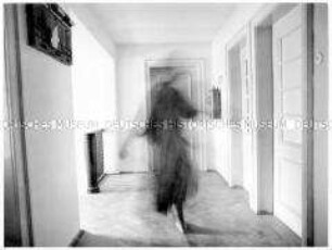
Menschliche Silhouette im Flur (Altersgruppe 18-21)

Gyßlingstraße 18-21
Aufn. 18-21
Gyßlingstraße 18-21

18-21, Notizen
Aufn. 18-21
18-21, Medizin
Gyßlingstraße 18-21
Gyßlingstraße 18-21
Gyßlingstraße 18-21

Tafel 18-21

18-21, virāma
Menschliche Silhouette im Flur (Altersgruppe 18-21)
Gyßlingstraße 18-21
Aufn. 18-21
Gyßlingstraße 18-21
18-21, Notizen
Aufn. 18-21
18-21, Medizin
Gyßlingstraße 18-21
Gyßlingstraße 18-21
Gyßlingstraße 18-21
Tafel 18-21
18-21, virāma
Menschliche Silhouette im Flur (Altersgruppe 18-21)
Gyßlingstraße 18-21
Aufn. 18-21
Gyßlingstraße 18-21
18-21, Notizen
Aufn. 18-21
18-21, Medizin
Gyßlingstraße 18-21
Gyßlingstraße 18-21
Gyßlingstraße 18-21
Tafel 18-21