Karte / Plan
Bestimmung des Hochwasserfreigebiets der Ruhr. Querprofile km 56,1, 56,4; 57,0, 57,6; 58,1, 58,; 59,1, 59,7; 60,3, 60,5. 5 Bl. [Entwürfe].
- Reference number
-
RW Karten, 4582 - b
- Dimensions
-
Höhe: 72 cm, Breite: 58 cm, Maßstab: 1 : 1250 (L), 1 : 100 (H)
- Context
-
RW Karten >> 5. Gewässer >> 5.3. Ruhr >> 5.3.3. Hochwasserfreigebiete
- Holding
-
RW Karten
- Date of creation
-
1899
- Other object pages
- Provenance
-
Diverse Registraturbildner
- Delivered via
- Last update
-
05.11.2025, 3:45 PM CET
Data provider
This object is provided by:
Landesarchiv Nordrhein-Westfalen. Abteilung Rheinland. If you have any questions about the object, please contact the data provider.
Landesarchiv Nordrhein-Westfalen. Abteilung Rheinland. If you have any questions about the object, please contact the data provider.
Object type
- Karten / Pläne
Time of origin
- 1899
Other Objects (12)
§ 56 / § 57 / § 58 / § 59 / § 60
![[Teil 55, 56, 57, 58, 59, 60, 61]](https://iiif.deutsche-digitale-bibliothek.de/image/2/667d888e-d86f-462d-a6db-65b87b24bb22/full/!306,450/0/default.jpg)
[Teil 55, 56, 57, 58, 59, 60, 61]
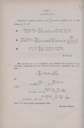
Questioni 57, 58, 59, 60.

Buskow, Neuruppin, Buskower Dorfstraße 56 & 57 & 58 & 59 & 60 & 61
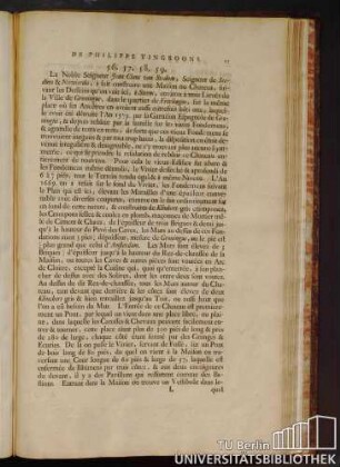
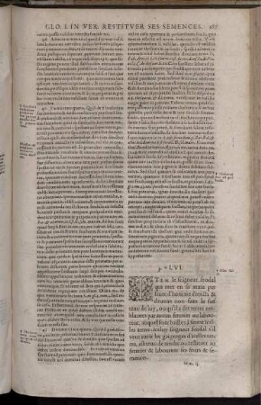
De Philippe Vingboons. 56. 57. 58. 59.
![Prozessakten X : [Beweismittel II] ; 56.; 57.; 58.; 59.; 60.; 61.; 62.; 63.](/assets/placeholder/searchResultMediaNoDigitisedMedia.png)
Prozessakten X : [Beweismittel II] ; 56.; 57.; 58.; 59.; 60.; 61.; 62.; 63.
Zepernick, Panketal, Heinestraße 57 & 58 & 59 & 60
Block 55, 57, 58, 59, 60, P2
![Bestimmung des Hochwasserfreigebiets der Ruhr. Querprofile km 56,1, 56,4; 57,0, 57,6; 58,1, 58,; 59,1, 59,7; 60,3, 60,5. 5 Bl. [Entwürfe].](https://iiif.deutsche-digitale-bibliothek.de/image/2/547e78b1-cfa6-49a4-a9a0-d81ecc8b61ba/full/!306,450/0/default.jpg)
Bestimmung des Hochwasserfreigebiets der Ruhr. Querprofile km 56,1, 56,4; 57,0, 57,6; 58,1, 58,; 59,1, 59,7; 60,3, 60,5. 5 Bl. [Entwürfe].
![Bestimmung des Hochwasserfreigebiets der Ruhr. Querprofile km 56,1, 56,4; 57,0, 57,6; 58,1, 58,; 59,1, 59,7; 60,3, 60,5. 5 Bl. [Entwürfe].](https://iiif.deutsche-digitale-bibliothek.de/image/2/51829524-58ae-472f-9eac-14da60b22a14/full/!306,450/0/default.jpg)
Bestimmung des Hochwasserfreigebiets der Ruhr. Querprofile km 56,1, 56,4; 57,0, 57,6; 58,1, 58,; 59,1, 59,7; 60,3, 60,5. 5 Bl. [Entwürfe].
![Bestimmung des Hochwasserfreigebiets der Ruhr. Querprofile km 56,1, 56,4; 57,0, 57,6; 58,1, 58,; 59,1, 59,7; 60,3, 60,5. 5 Bl. [Entwürfe].](https://iiif.deutsche-digitale-bibliothek.de/image/2/dfc0f9fb-4ebf-4675-a835-e3fb03d71c06/full/!306,450/0/default.jpg)
Bestimmung des Hochwasserfreigebiets der Ruhr. Querprofile km 56,1, 56,4; 57,0, 57,6; 58,1, 58,; 59,1, 59,7; 60,3, 60,5. 5 Bl. [Entwürfe].

Tab. XVI 56. Capricornus, 57, Aquarius, 58. Piscis Notius, 59. Microscopium, 60. Globus aerostaticus
§ 56 / § 57 / § 58 / § 59 / § 60
[Teil 55, 56, 57, 58, 59, 60, 61]
Questioni 57, 58, 59, 60.
Buskow, Neuruppin, Buskower Dorfstraße 56 & 57 & 58 & 59 & 60 & 61
De Philippe Vingboons. 56. 57. 58. 59.
Prozessakten X : [Beweismittel II] ; 56.; 57.; 58.; 59.; 60.; 61.; 62.; 63.
Zepernick, Panketal, Heinestraße 57 & 58 & 59 & 60
Block 55, 57, 58, 59, 60, P2
Bestimmung des Hochwasserfreigebiets der Ruhr. Querprofile km 56,1, 56,4; 57,0, 57,6; 58,1, 58,; 59,1, 59,7; 60,3, 60,5. 5 Bl. [Entwürfe].
Bestimmung des Hochwasserfreigebiets der Ruhr. Querprofile km 56,1, 56,4; 57,0, 57,6; 58,1, 58,; 59,1, 59,7; 60,3, 60,5. 5 Bl. [Entwürfe].
Bestimmung des Hochwasserfreigebiets der Ruhr. Querprofile km 56,1, 56,4; 57,0, 57,6; 58,1, 58,; 59,1, 59,7; 60,3, 60,5. 5 Bl. [Entwürfe].