Karte / Plan
Kaspisches Meer, Usbekistan, topographische Karte: Nova Maris Caspii et Regionis Usbeck Cum Provinciis adjacentibus vera Delineatio In qua itinera Regia et alia notabiliora accurate denotantur. Per A. Mass. 1735. Curantibus Homannianis Heredib. Cum Privil. S.C.M. / Mappa ... desumta ex autographo majoris formae, quod exhibitum est occasione Legationis Russicae 1723 in Orientis terras ... Reductio ... facta est per Iohannem Petrum van Ghelen. 1735
- Former reference number
-
Bibliothek Harff-Dreiborn, Landkarten Nr. 187
- Dimensions
-
Höhe: 49 cm, Breite: 58 cm
- Context
-
RW Karten >> 1. Topographische Karten >> 1.3. Landesaufnahme Ausland >> 1.3.1. Asien
- Holding
-
RW Karten
- Date of creation
-
1735
- Other object pages
- Provenance
-
Diverse Registraturbildner
- Delivered via
- Last update
-
17.09.2025, 2:56 PM CEST
Data provider
This object is provided by:
Landesarchiv Nordrhein-Westfalen. Abteilung Rheinland. If you have any questions about the object, please contact the data provider.
Landesarchiv Nordrhein-Westfalen. Abteilung Rheinland. If you have any questions about the object, please contact the data provider.
Object type
- Karten / Pläne
Time of origin
- 1735
Other Objects (12)
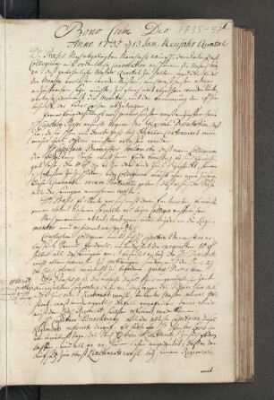
Bono Cum Deo Anno 1735
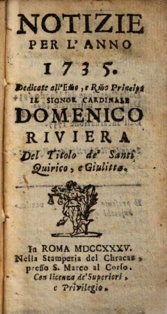
Notizie : per l'anno .... 1735

3. Pér. 36.1906: Joseph Ducreux (1735 - 1802)
. 1735: Februar 1735
. 1735: August-September 1735
. 1735: Januar-Februar 1735
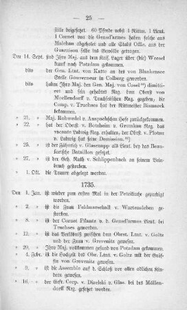
. 1735: Oktober-November 1735
. 1735: Mai-Juli 1735

. 1735: März-April 1735
1735
1735.

1735
Bono Cum Deo Anno 1735
Notizie : per l'anno .... 1735
3. Pér. 36.1906: Joseph Ducreux (1735 - 1802)
. 1735: Februar 1735
. 1735: August-September 1735
. 1735: Januar-Februar 1735
. 1735: Oktober-November 1735
. 1735: Mai-Juli 1735
. 1735: März-April 1735
1735
1735.
1735
Bono Cum Deo Anno 1735
Notizie : per l'anno .... 1735
3. Pér. 36.1906: Joseph Ducreux (1735 - 1802)
. 1735: Februar 1735
. 1735: August-September 1735
. 1735: Januar-Februar 1735
. 1735: Oktober-November 1735
. 1735: Mai-Juli 1735
. 1735: März-April 1735
1735
1735.