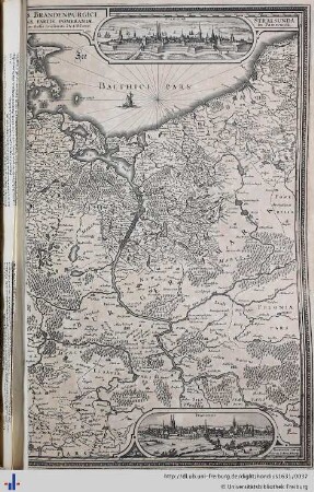
Karten und Pläne
Theil von Meklenburg -Sektion 18- Partie de Meklenbourg
Karte, Topografisch - militärische Karte von Deutschland, Blatt 52,2 x 40,2 cm
- Reference number
-
0001
- Former reference number
-
I.A.2
- Dimensions
-
Bild 32,4 x 42 cm
- Context
-
Crull-Sammlung. Stiche, Lithographien, Karten, Bilder >> 01. I Karten und Pläne >> 01.01. 01.A. Wismar mit Umgebung
- Holding
-
Abt. VIII. Rep. 1. B 1 Crull-Sammlung. Stiche, Lithographien, Karten, Bilder
- Indexentry place
-
Wismar - Entstehungsort
- Date of creation
-
1807
- Other object pages
- Delivered via
- Last update
-
09.05.2025, 3:01 PM CEST
Data provider
This object is provided by:
Archiv der Hansestadt Wismar. If you have any questions about the object, please contact the data provider.
Archiv der Hansestadt Wismar. If you have any questions about the object, please contact the data provider.
Object type
- Karten und Pläne
Time of origin
- 1807
Other Objects (12)
Herzog Meklenburg
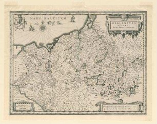
Meklenburg ducatus

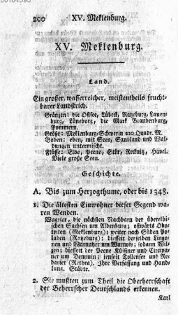
XV. Meklenburg

Mechler - Meklenburg
Meklenburg-Schwerin
XV. Meklenburg
![Meklenburg-Schwerin : [Schulnachrichten]](https://iiif.deutsche-digitale-bibliothek.de/image/2/e2080886-daa5-4d43-bc49-1b65add29100/full/!306,450/0/default.jpg)
Meklenburg-Schwerin : [Schulnachrichten]
Aus Meklenburg-Schwerin
Meklenburg, Benno * 11.8.1883
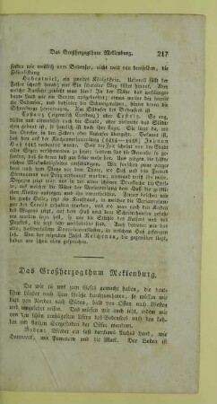
Das Großherzogthum Meklenburg
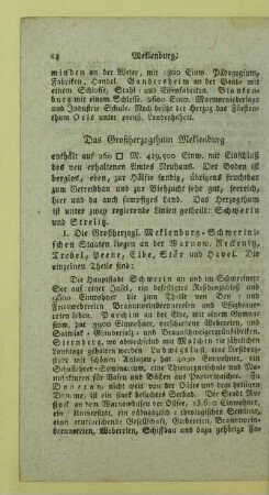
Das Großherzogthum Meklenburg
Pomerania, Meklenburg et Marca.
Herzog Meklenburg
Meklenburg ducatus
XV. Meklenburg
Mechler - Meklenburg
Meklenburg-Schwerin
XV. Meklenburg
Meklenburg-Schwerin : [Schulnachrichten]
Aus Meklenburg-Schwerin
Meklenburg, Benno * 11.8.1883
Das Großherzogthum Meklenburg
Das Großherzogthum Meklenburg
Pomerania, Meklenburg et Marca.
Herzog Meklenburg
Meklenburg ducatus
XV. Meklenburg
Mechler - Meklenburg
Meklenburg-Schwerin
XV. Meklenburg
Meklenburg-Schwerin : [Schulnachrichten]
Aus Meklenburg-Schwerin
Meklenburg, Benno * 11.8.1883
Das Großherzogthum Meklenburg
Das Großherzogthum Meklenburg