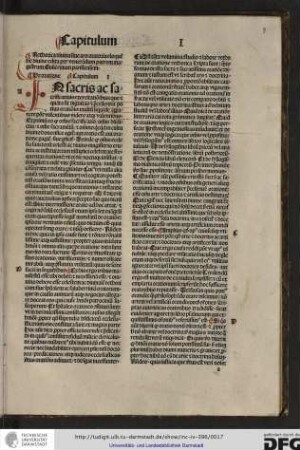
Karte / Plan
China, topographische Karte: Tatariae Sinensis Mappa Geographica / Carte generale de la Tatarie Chinoise. ex Tabulis specialibus RR. P.P. Iesuitarum nec non Relationisbus R. P. Gerbillon per Dom. d'Anville Geographum Parisiensem primum Anno 1732. nunc secundum LL. projectionis stereographicae in usum translationis Germanicae Historiae Sinen. Haldianae descripta per Tobiam Mayer, Soc. Cosmogr. Sodal. Curis Homannianorum Heredum. Anno 1749
- Former reference number
-
Bibliothek Harff-Dreiborn, Landkarten Nr. 54
- Dimensions
-
Höhe: 50 cm, Breite: 40 cm
- Context
-
RW Karten >> 1. Topographische Karten >> 1.3. Landesaufnahme Ausland >> 1.3.1. Asien
- Holding
-
RW Karten
- Date of creation
-
1749
- Other object pages
- Provenance
-
Diverse Registraturbildner
- Delivered via
- Last update
-
17.09.0013, 2:17 PM CET
Data provider
This object is provided by:
Landesarchiv Nordrhein-Westfalen. Abteilung Rheinland. If you have any questions about the object, please contact the data provider.
Landesarchiv Nordrhein-Westfalen. Abteilung Rheinland. If you have any questions about the object, please contact the data provider.
Object type
- Karten / Pläne
Time of origin
- 1749
Other Objects (12)

Sermo factus per Cancellarium Parisiensem 21. Julii anno Domini 1415

Kalendarium per annos centum

Calendarium per annos centum
Rethorica divina sive ars oratoria eöoquentie divine per venerandum patrem magistrum Guilermum Parisiensem.

Notizie : per l'anno .... 1765

Notizie : per l'anno .... 1812

Notizie : per l'anno .... 1763

Relazione Per L' Anno 1856.

Notizie : per l'anno .... 1825

Notizie : per l'anno .... 1801
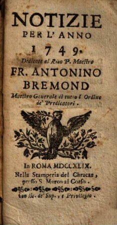
Notizie : per l'anno .... 1749

Notizie : per l'anno .... 1785
Sermo factus per Cancellarium Parisiensem 21. Julii anno Domini 1415
Kalendarium per annos centum
Calendarium per annos centum
Rethorica divina sive ars oratoria eöoquentie divine per venerandum patrem magistrum Guilermum Parisiensem.
Notizie : per l'anno .... 1765
Notizie : per l'anno .... 1812
Notizie : per l'anno .... 1763
Relazione Per L' Anno 1856.
Notizie : per l'anno .... 1825
Notizie : per l'anno .... 1801
Notizie : per l'anno .... 1749