- Reference number
-
57 WSD K 5370 A
- Context
-
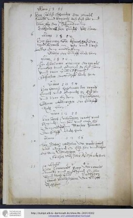
Rep. 57 Wasserstraßendirektion Potsdam - Karten >> Wasserstraßenamt Rathenow >> Vermessungs- und Kartenwesen >> Untere Havel >> Lagepläne mit Einmündung Hohennauener Kanal
- Holding
-
57 WSD K (15603) Rep. 57 Wasserstraßendirektion Potsdam - Karten
- Date of creation
-
1903-1916
- Other object pages
- Last update
-
2025-04-07T11:36:55+0200
Data provider
This object is provided by:
Brandenburgisches Landeshauptarchiv. If you have any questions about the object, please contact the data provider.
Brandenburgisches Landeshauptarchiv. If you have any questions about the object, please contact the data provider.
Object type
- Archivale
Time of origin
- 1903-1916
Other Objects (12)

Unterer Havelwasserstraße km neu 134,3 - 135,1; km alt 25,1 - 25,9
Strecke Berlin - Görlitz. km 135,1. Wegeüberführung
Unterer Havelwasserstraße km neu 135,5 - 135,9; km alt 24,3 - 24,2
Lageplan der Staustufe von km 135,5 bis km 138,4 (= Nkm 135,7 bis Nkm 137,1 A)
Unterer Havelwasserstraße km neu 135,9 - 136,6; km alt 23,6 - 24,3
Untere Havelwasserstraße km neu 134,2 - 135,6; km alt 24,6 - 26,0
Ordner 135 (Blatt 135/1 bis 135/200).- Serie F
Untere Havelwasserstraße. Sacrow-Paretzer Wasserstraße. Bl. 20 - Km 135,94 - 139,4
Anno 1351 - 1357
Hopfau: Pfarrbesoldungsgrundstück Nr. 135/1 und 135/2
Untere Havelwasserstraße km neu 33,2 - 33,9; km alt 135,6 - 136,3 (Brandenburger Havel)
km 135,0-135,6 Bahnhof Neuwied
Unterer Havelwasserstraße km neu 134,3 - 135,1; km alt 25,1 - 25,9
Strecke Berlin - Görlitz. km 135,1. Wegeüberführung
Unterer Havelwasserstraße km neu 135,5 - 135,9; km alt 24,3 - 24,2
Lageplan der Staustufe von km 135,5 bis km 138,4 (= Nkm 135,7 bis Nkm 137,1 A)
Unterer Havelwasserstraße km neu 135,9 - 136,6; km alt 23,6 - 24,3
Untere Havelwasserstraße km neu 134,2 - 135,6; km alt 24,6 - 26,0
Ordner 135 (Blatt 135/1 bis 135/200).- Serie F
Untere Havelwasserstraße. Sacrow-Paretzer Wasserstraße. Bl. 20 - Km 135,94 - 139,4
Anno 1351 - 1357
Hopfau: Pfarrbesoldungsgrundstück Nr. 135/1 und 135/2
Untere Havelwasserstraße km neu 33,2 - 33,9; km alt 135,6 - 136,3 (Brandenburger Havel)