Archivale
Situations- und Nivellementsplan der projektierten Chausseestrecke von Altfriesack (Alt Friesack) nach Altruppin (Alt Ruppin). Sect. III - km 69,0 bis 103,0
- Reference number
-
6B Ruppin K 15 A
- Context
-
Rep. 6B Kreisverwaltung Ruppin >> Rep. 6B Landratsamt Ruppin >> Karten >> Straßen
- Holding
-
6B Ruppin (1686731) Rep. 6B Kreisverwaltung Ruppin
- Date of creation
-
1884
- Other object pages
- Last update
-
07.04.2025, 11:36 AM CEST
Data provider
This object is provided by:
Brandenburgisches Landeshauptarchiv. If you have any questions about the object, please contact the data provider.
Brandenburgisches Landeshauptarchiv. If you have any questions about the object, please contact the data provider.
Object type
- Archivale
Time of origin
- 1884
Other Objects (12)

Situations- und Nivellementsplan der projektierten Chausseestrecke von Altfriesack (Alt Friesack) nach Altruppin (Alt Ruppin). Sect. II - km 35,0 bis 69,0
Situations- und Nivellementsplan der projektierten Chausseestrecke von Altfriesack (Alt Friesack) nach Altruppin (Alt Ruppin). Sect. I - km 0,0 bis 35,0
Situations- und Nivellementsplan der projektierten Chausseestrecke von Altfriesack (Alt Friesack) nach Altruppin (Alt Ruppin). Sect. IV - km 103,0 bis 137,0
Umbau der Stauanlage an der Mühle zu Alt-Friesack
Altfriesack
Altfriesack
Altfriesack

Technische Zeichnung : Kropfrad mit Überfallschütze (System Zuppinger) für Herrn Rönnefahrt in Alt-Friesack
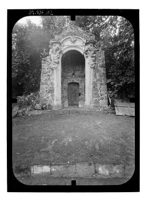
Wustrau-Altfriesack (Fehrbellin-Wustrau-Altfriesack). Eiskeller (1750)
Wasserstandslisten Altfriesack
Altfriesack, Fehrbellin
Wasserstandslisten Altfriesack
Situations- und Nivellementsplan der projektierten Chausseestrecke von Altfriesack (Alt Friesack) nach Altruppin (Alt Ruppin). Sect. II - km 35,0 bis 69,0
Situations- und Nivellementsplan der projektierten Chausseestrecke von Altfriesack (Alt Friesack) nach Altruppin (Alt Ruppin). Sect. I - km 0,0 bis 35,0
Situations- und Nivellementsplan der projektierten Chausseestrecke von Altfriesack (Alt Friesack) nach Altruppin (Alt Ruppin). Sect. IV - km 103,0 bis 137,0
Umbau der Stauanlage an der Mühle zu Alt-Friesack
Altfriesack
Altfriesack
Altfriesack
Technische Zeichnung : Kropfrad mit Überfallschütze (System Zuppinger) für Herrn Rönnefahrt in Alt-Friesack
Wustrau-Altfriesack (Fehrbellin-Wustrau-Altfriesack). Eiskeller (1750)
Wasserstandslisten Altfriesack
Altfriesack, Fehrbellin